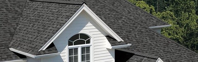
Drone roof inspection imagery used for roof measurement software
Roof measurement software by SkySync

Metrix turns roof imagery into cleaner jobs, measurements, and material reports.

Create jobs, measure roof planes from photos or 3D models, organize team access, and produce project-ready material outputs from one company workspace.

METRIX WORKFLOW

Built for roofing work, not generic drawings

Same features on every plan. Your subscription tier only controls how many new projects your company creates each billing month.

Create and manage jobs

Keep customer, address, assignment, imagery, 3D models, measurements, and reports tied to the company workspace.

Measure roof sections

Trace roof planes from top-view photos or work directly on guided 3D model roof polygons for more complex geometry.

Build material outputs

Review roof area, edge measurements, material quantities, and export-ready project information without rebuilding the job in another tool.

01

Upload imagery

Start from drone photos and optional WebODM 3D model uploads.

02

Set scale

Calibrate measurements from known distances or model scale.

03

Draw roof planes

Create editable polygons for each roof face and refine as needed.

04

Export results

Turn measurements into cleaner estimates, reports, and material reviews.

PRICING

Choose by monthly job volume

All plans include the full Metrix workflow. Job limits count projects created per billing month. Existing jobs stay available while your subscription is active.

10 JOBS / MONTH

Metrix Starter

Monthly - Up to 10 Projects/month

$9.99 /month
  • Full Metrix workflow
  • Company team access
  • Existing jobs stay available while subscribed
UNLIMITED JOBS

Metrix Unlimited

Unlimited Projects/Month

$59.99 /month
  • Full Metrix workflow
  • Company team access
  • Existing jobs stay available while subscribed
FOR ROOFING TEAMS

A smoother path from inspection to estimate.

Metrix connects the field imagery SkySync knows with the measurement and material workflow roofing teams need after the drone lands.